This page provides information on a number of circular walks / runs around Bridgnorth. Links are provided to maps on the Ordnance Survey mapping system. If you do not have an account they will be shown in the OS 'standard' mapping format. If you have an account you will be able to view the route on 1:25,000 and 1:50,000 scale mapping.
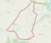
South west from OldburyA 5km circular route to the south west of Bridgnorth, starting from the end of a land accessed from Oldbury. The walk loops out into countryside, via Westwood Farm, the Halfway House and Potseething, before returning to Oldbury.
|
|
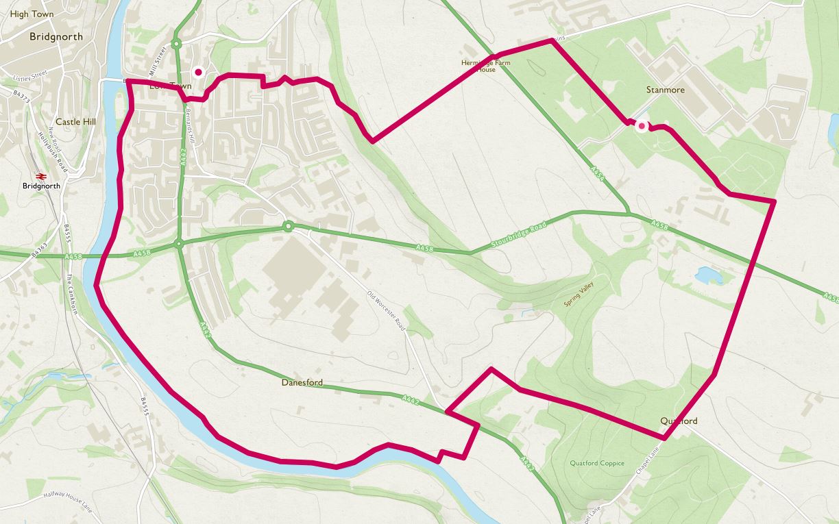
South along the Severn and through Stanmore Country ParkA 9km circular route to the south of Bridgnorth, along the river Severn, up through the woods behind Quatford to Stanmore Country Park, and back to Bridgnorth over the escarpment, with great views over the town.
|
|
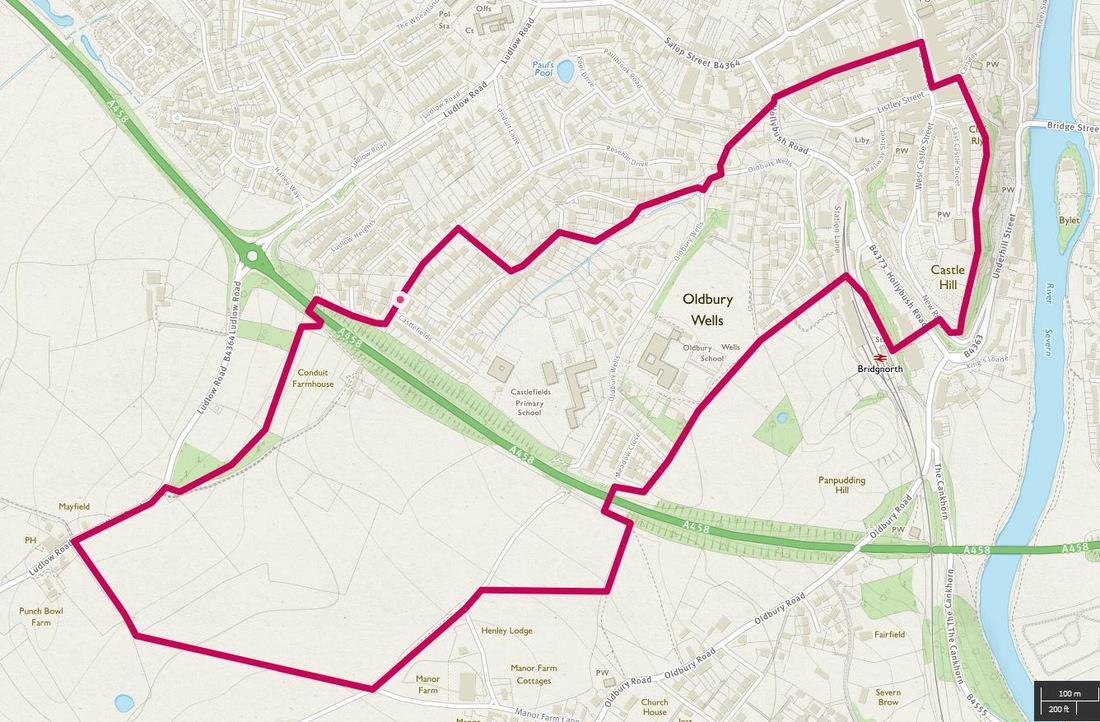
Bridgnorth, the Punch Bowl and the Severn Valley RailwayA 5km circular route through Bridgnorth, looping into the countryside, visiting the Severn Valley Railway and taking in the views from around the castle gardens and High Town.
|
|
